updated
May 2026
county list
DID
EARLY IRISH MONKS
REACH
CANADA ?
Dolmens
(portal-tombs)
Cashels,
Crannógs,
Souterrains

anticopyright / open source 2026
Anthony Weir
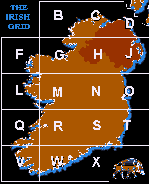
Map
of Ireland
showing the Counties and historical Provinces,
excluding the four administrative sub-counties around Dublin
and the two Ridings of Tipperary.
To use this map as a Megalithic Gazetteer,
click on a county for details of selected monuments.
see note below on 1:50,000 maps

To use this
map as a Megalithic Gazetteer,
click on a county for
details of selected monuments.
<<
BACK<<
to
convert Grid References to GPS co-ordinates
click
here for instructions
|
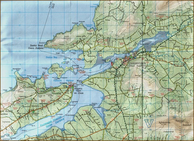
A note on the Irish 1:50,000 maps. Although
the Irish Grid covers the whole island, maps for Northern
Ireland, published in Belfast, differ slightly
from those issuing from Dublin. Northern
Ireland's Discoverer mark only a fraction of
surviving megaliths. A few of
the map references given on this site may be slightly inaccurate.
Click here for a scan of part of sheet 83
|
Smartphone application : The literal meanings of Irish place-names.>
|
Large
monuments in State Care charge for admission.
|
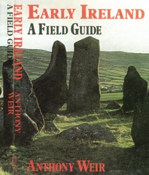
This website is based on EARLY IRELAND:
A FIELD GUIDE
which was published in 1980, quickly sold out,
and was never reprinted.
Please acknowledge re-use of images or text.
feedback >
![]()
The
only good portable Guide to Ireland's megalithic monuments
(as well as Early Christian and some mediæval sites) is the 672-page
TRAVELLER'S GUIDE TO SACRED IRELAND by
Cary Meehan
(Gothic Image, Glastonbury 2002, ISBN 0906362431)
- though few grid-references are given, and never with a map number
or grid letter -
let alone GPS co-ordinates.
![]()