Ballynoe, county Down
J 481 404 - Sheet 21
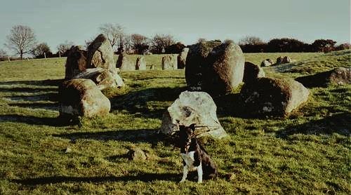
1. A view of the circle from the West,
with the low entrance-stones nearest.
Behind them is the not-quite-aligned, tall, flat-topped axial stone which
is prow-shaped towards the W.
Behind, and slightly to the right, the top edge of the E axial stone is
visible behind the long barrow within the circle.
Ballynoe is more or less half-way - a kind of Geomantic Centre - on
the E-W line between Swinside
in NW England and a point just above Sligo town at 54° 17' North
(i.e. N of Carrowmore, but) which is surrounded by prehistoric tombs and
circles of various kinds. This line also crosses the Long Cairn of Ballafayle,
just North of the significant summit of Snæfell on the Isle of Man.
But Swinside has no view to the W, and Ballynoe has no view to the E.
Nor are Ballynoe's two axial stones are exactly East-West, suggesting that
Ballynoe is a sort of 'crazy circle' (nothing quite lines up, everything
is slightly askew) - maybe a 'decoy'....or a 'deliberate mistake' of some
sort.....?
Click on the picture to see a naturally-cupmarked stone.
2. A view of the entrance to the circle, with my teacher Oscar in front
of the southern entrance-stone,
and, behind it, the prow-shaped axial stone.
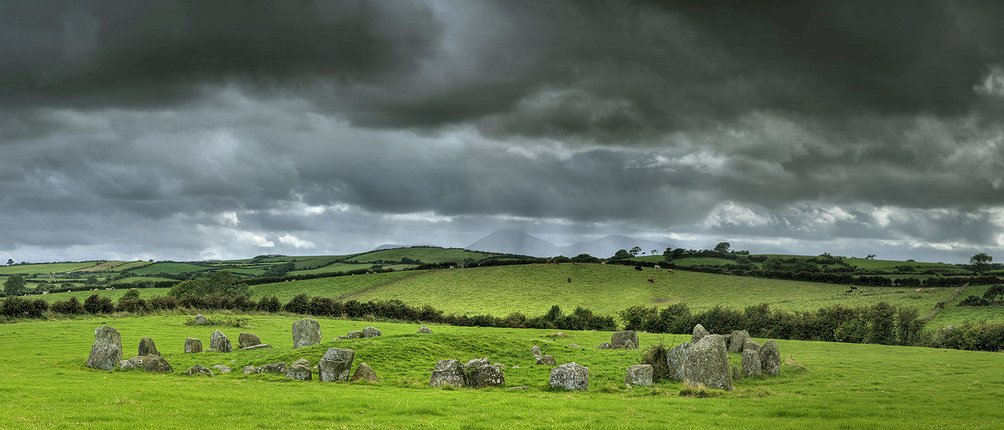
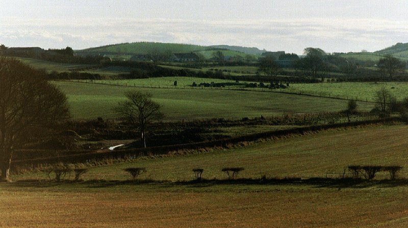
3. The circle seen from afar (from the north-west)
through a telephoto lens - also in winter.
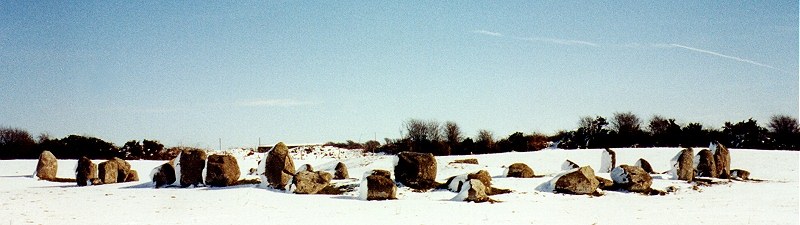
Click on the camera for a ![]() view from the north-east.
view from the north-east.
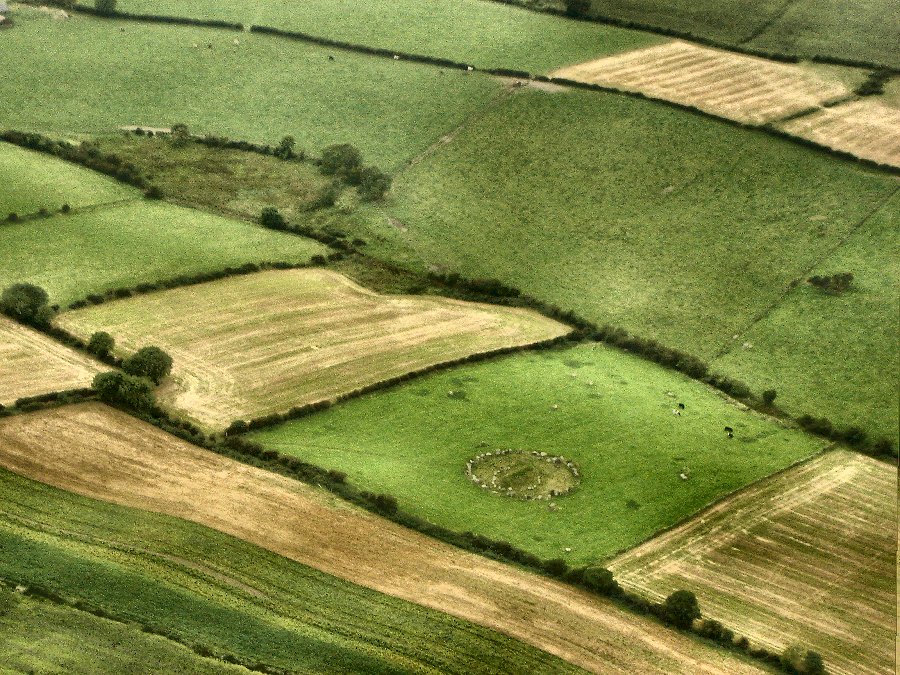
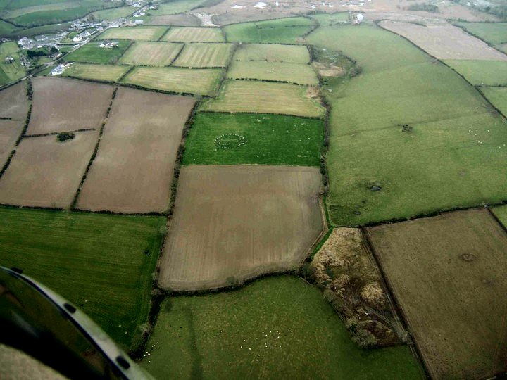
4. An aerial view from the
NE taken in December 2005 by 'Nareik'.
Ballynoe hamlet and the shrubby trace of the old railway-line running down
from it can be seen top left.
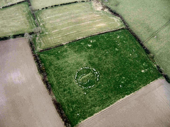
A view almost from above.
A summer view from the air.