Carrowkeel, county Sligo
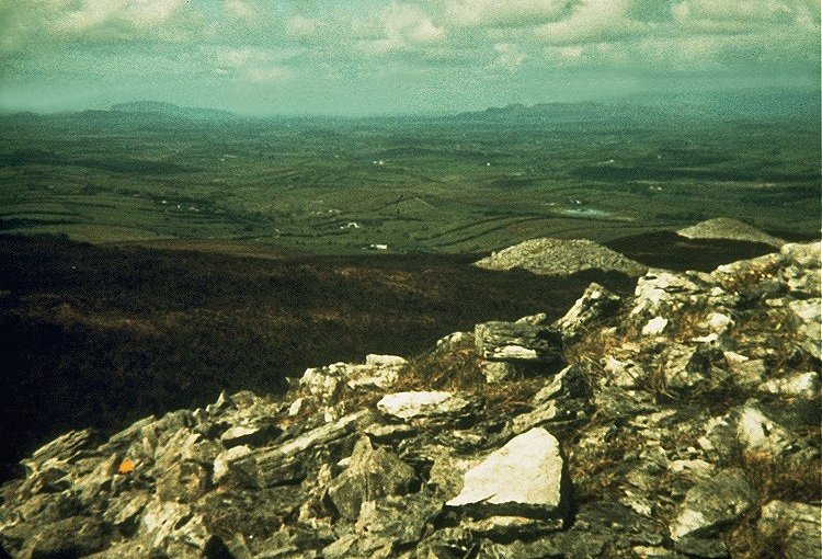
A grainy photograph taken with a primitive Kodak Instamatic camera in 1972,
looking towards Slieve Daene and
(to the left) Knocknarea, with Maeve's cairn
just visible on the top.
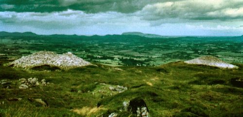
Another grainy photograph, from a different spot, also looking N towards Maeve's
Cairn and Knocknarea.
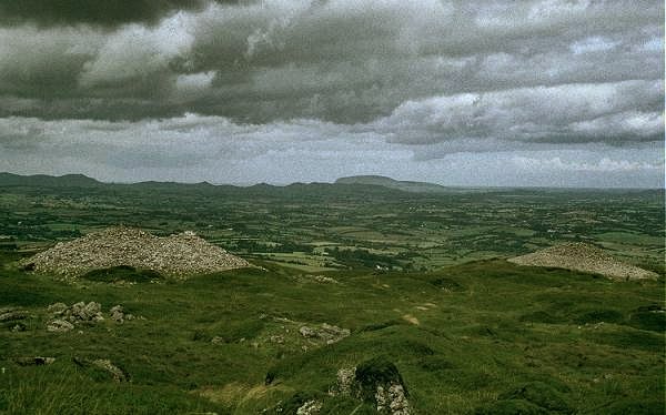
A similar view taken twenty years later.
Looking West to Cairn B from Cairn
E.
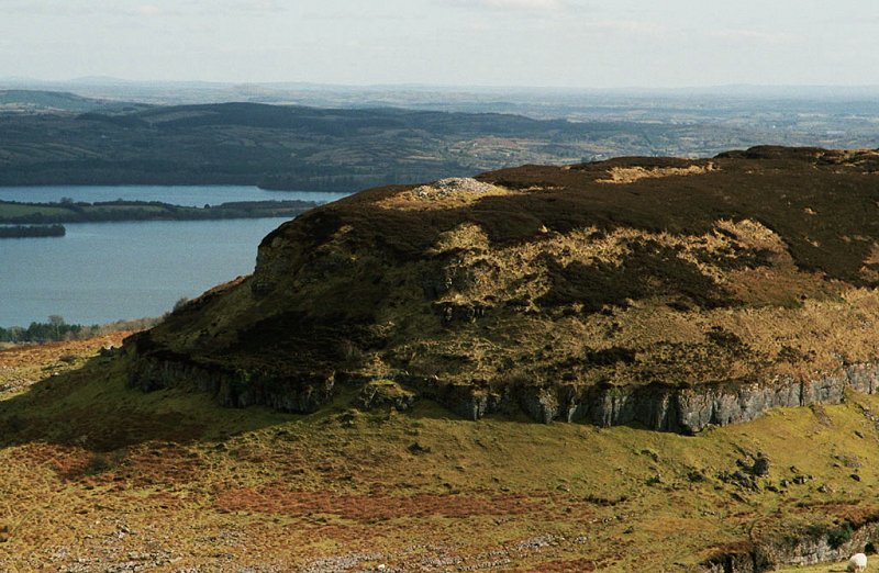
Cairn O in Doonaveeragh townland, and Lough Arrow behind, with Mullaghfarna
hut/tent-circles
at the bottom of the picture.
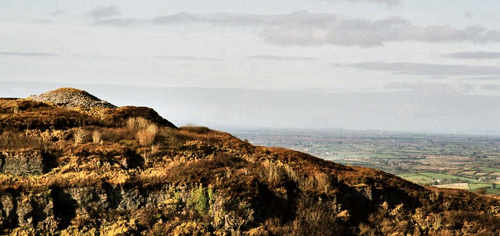
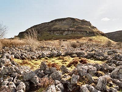
Looking towards the escarpment of Doonaveragh (with cairn P to the right)
from one of the rings of (decayed limestone) stones in Mullaghfarnagh
which may have been where tents for a ceremonial gathering were pitched and
weighted down.
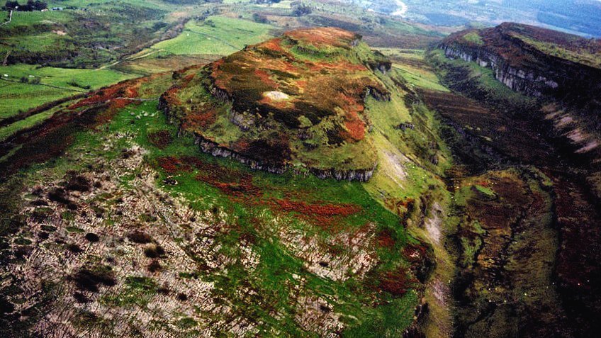
Cairn P, digitally enhanced from a photograph by Sam Moore.
All but the first and last photos are by Tom
FourWinds.
click on the
picture to see ![]() of the Carrowkeel cairns.
of the Carrowkeel cairns.
for an historical
account of Carrowkeel, with videos,
see Voices from the
Dawn website.
<< BACK<<
